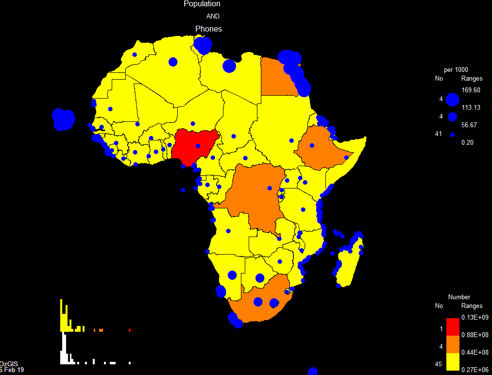
OzGIS Mapping Software
Free desktop software for the analysis and display of
geographically referenced data.
OzGIS is an extensive mapping system
for the analysis and display of geographically referenced data.
Map data are downloaded from Census bureaux and map agencies or
extracted from your own databases.
The system can be used to to support management decisions
associated with, for example, government planning, marketing,
sales, site and personnel location, advertising and research.
Systems for Windows, Mac and Ubuntu, source code, sample data
files and manuals are included.
OzGIS is completely free, and can
be downloaded from SourceForge https://sourceforge.net/projects/ozgis/. Look in the
Files tab, https://sourceforge.net/projects/ozgis/files/
, for download and installation instructions.
Look at SourceForge
for much
more information!