About OzGIS
OzGIS is an extensive GIS mapping system for the analysis and display of geographically referenced data.
Map data can be downloaded from census bureaux and mapping agencies, or extracted directly from your own databases and data files.
OzGIS supports management decision-making for applications including:
- Government planning
- Marketing and sales analysis
- Site and personnel location
- Advertising analysis
- Research and statistical mapping
Included Features
- Desktop GIS mapping tools
- Spatial data visualization
- Geographic analysis functions
- Support for census and demographic data
- Sample datasets and manuals
- Source code included
Supported Platforms
- Windows
- Mac
- Ubuntu Linux
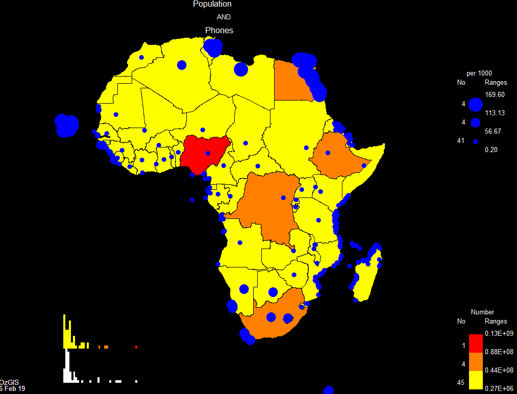
Example Map Output
Downloads and Documentation
OzGIS is completely free to download and use.